
Mapperley is an urban area that is known for having some seriously steep hills. Despite this, it is popular with cycling groups like the Velo Club at the Bread and Bitter which has almost 700 members. Many of us though, are reluctant to cycle in the area due to the safety concerns on our busy roads. Leisure cycling with the family should be a safe and pleasant activity. We ask the question:
Is Mapperley cycle-friendly for families?
Some residents went out to see where they can get to, without cycling on the road. They managed to get to Caythorpe, a village on the river Trent, just the other side of Lowdham. The ride was at a leisurely pace, sometimes walking with the cycle, with short stops to admire the scenery.
The return trip from Mapperley Top (including a pub-lunch in Caythorpe) took three hours and was approximately 15 miles there and back.
Here’s the route they took.
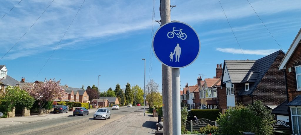
From Mapperley Top to the top of Colliery Way, the pavements on either side of Mapperley Plains are wide enough and designated to allow for pedestrians and cyclists. It is worth adding that a cycle bell is useful on these shared paths. I polite ‘ping’ of the bell will warn other users and make the whole experience more relaxed.
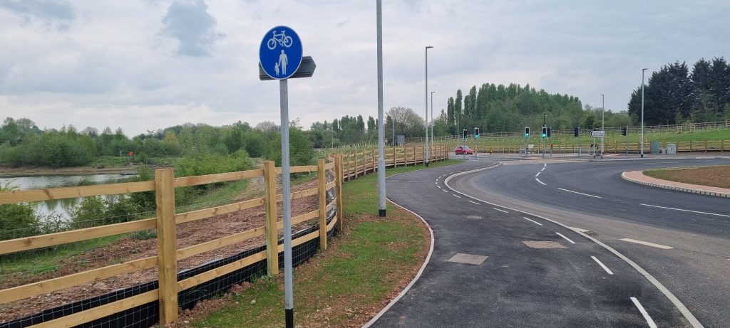
Colliery Way is a new road, so the pavement has been designed with the cyclist in mind.
Where Colliery Way joins Burton Road (next to Carlton Le Willows School, cyclists can use a short stretch of the old road, before using the pavement (on the left hand side) which is designated for cyclist and pedestrians. Some caution is needed as there are residential properties all the way along to Burton Joyce. Be mindful of the possibility of cars emerging from them. On our trip, none did. There were a few pedestrians and dog walkers so it is worth alerting them to your presence.
The pavement here could also do with a regular sweep too, as dust and debris builds up alongside the busy road. If the County Council are wanting us to get out and about more, it is the condition of pavements like this that needs maintaining.
On reaching Burton Joyce, it is necessary to cross the road and take Station Road on the right. There is a pedestrian crossing just prior to it, so it can be done safely.
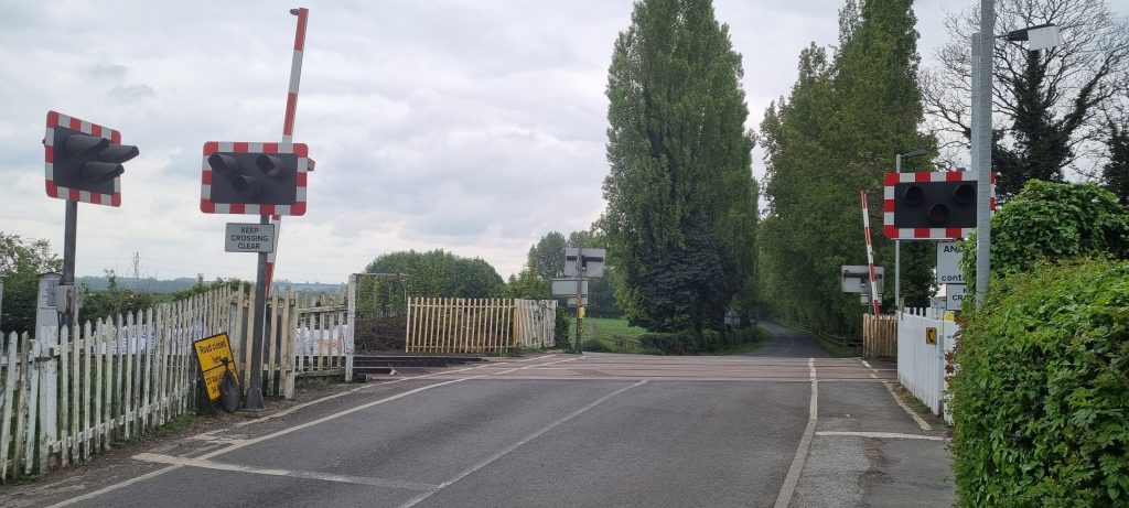
Within 100m is the railway station and having crossed the railway line, take the track to the left.
This track goes all the way to Lowdham, between the railway on the left and the river on the right. It is a pleasant path, the width of a narrow road. Most if it is tarmac, but some has a more uneven surface. It is not open to vehicles, so is popular with families and dog walkers. Again a quick ‘ping of the cycle bell will alert people as you approach.
The track finishes at the busy A6097 road between Lowdham and Gunthorpe Bridge. Take care crossing this road and go left along the quiet pavement to Lowdham, and follow the pavement where it bears right. Just before the railway station, take the Caythorpe Road. There is a pavement along Caythorpe Road but it is narrow so, give consideration to pedestrians and be prepared to stop or use the road itself.
The Old Volunteer pub is about 800m along here, at the start of Caythorpe Village. There is plenty of room to park your cycles and sit outside.
