
It’s January 2021 and winter is making the second COVID lock-down even more difficult for us. Posts on our Facebook page have suggested that anxiety about the pandemic extends to being out in the open air.
More of us are walking in our local area. Our parks and open spaces are busier. No longer are they restricted to dog walkers and families with young children. The shorter days have amplified this.
The risk of transmission by passing people in the open air is very small. Despite this, conversations on Mapperley People (and other social media pages) suggests that some of us are still anxious, even in open public spaces.
We recently posted about someone who enjoyed a circular walk from Mapperley Top through Carlton Hill, Bakersfield, Colwick Woods, Sneinton, and West Bridgford. This seemed well received, so here’s another circular walk along quiet pavements and takes in Arnold Park and Woodthorpe Park.
We walked this on the morning of Wednesday 27th January, after the snow and ice had melted. It was not the best of days for photographs, but they have been included to explain the route. Give yourself about two hours to complete it.
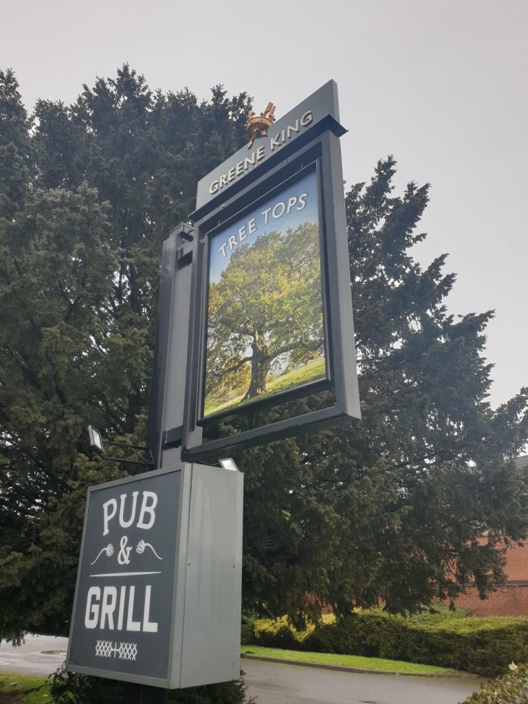
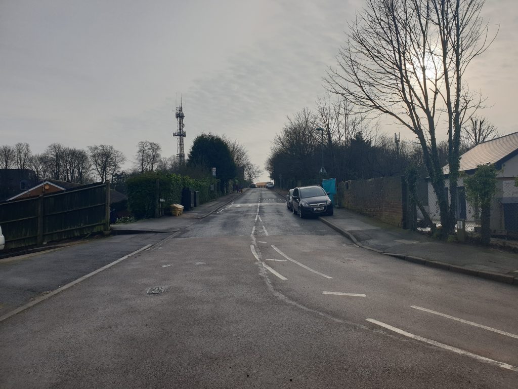
Starting on Mapperley Top, walk along Mapperley Plains past the Tree Tops pub to the junction of Mapperley Plains and Gedling Road.
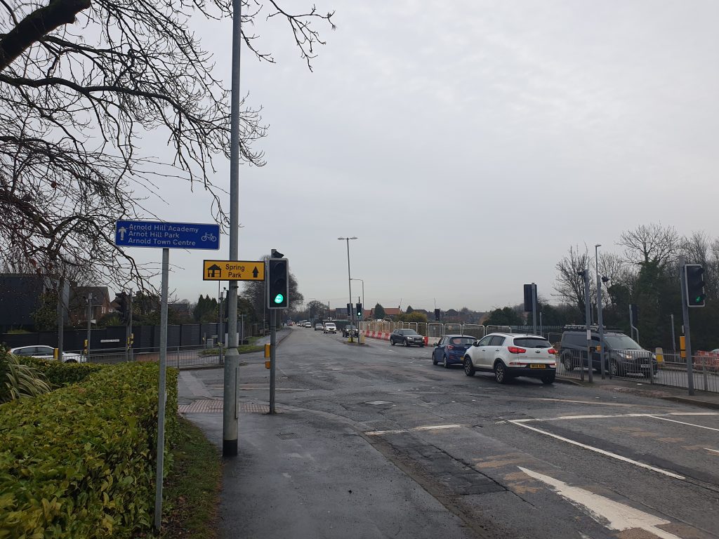
Turn left down Gedling Road to the traffic lights and cross at the junction towards at The Arrow public house.
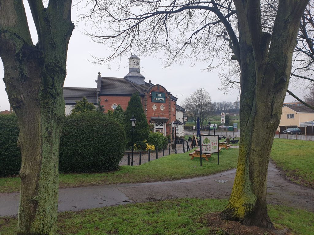
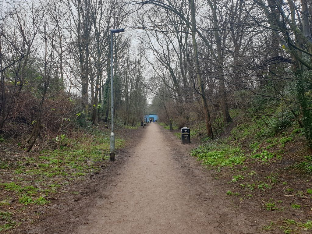
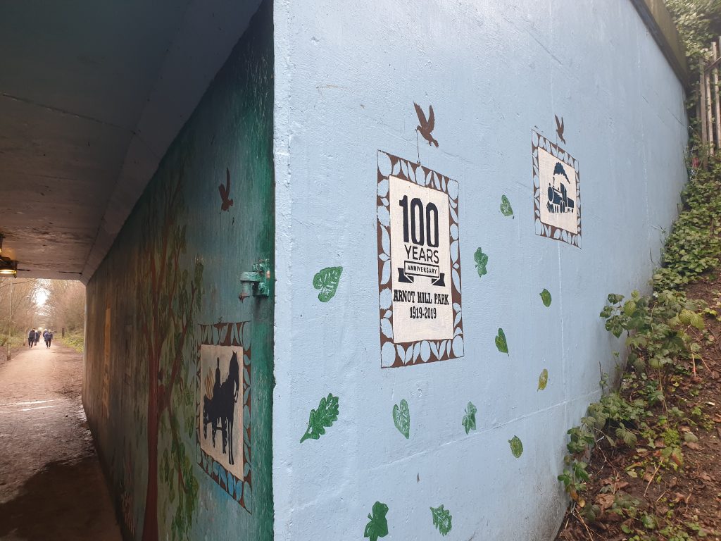
Walk to the left along the footpath that runs parallel and to the right of the ‘New Road’ extension of Arno Vale Road. Note the subway under the road marks the location of the former (GCR) railway line that emerged from the Mapperley Tunnel. The tunnel entrance is secured and actually forms part of the Scout facility on the other side of the New Road. We will rejoin the former railway later.
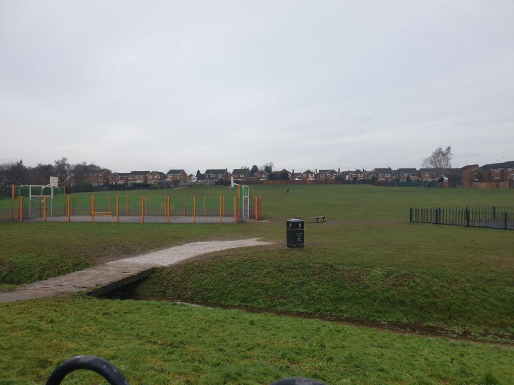
Continue along the pavement and you will reach the entrance to the ‘Open Space’ playing field at the junction with Somersby Road.
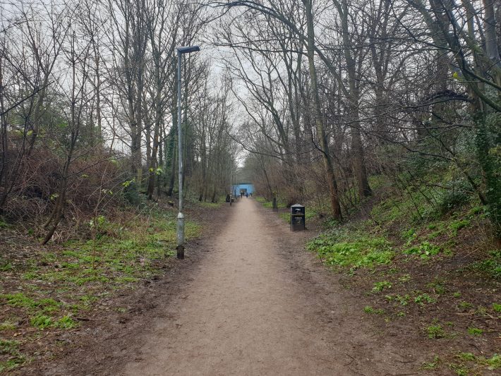
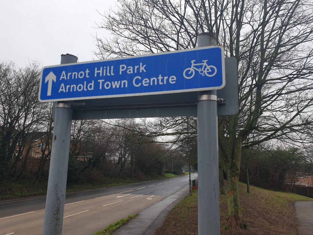
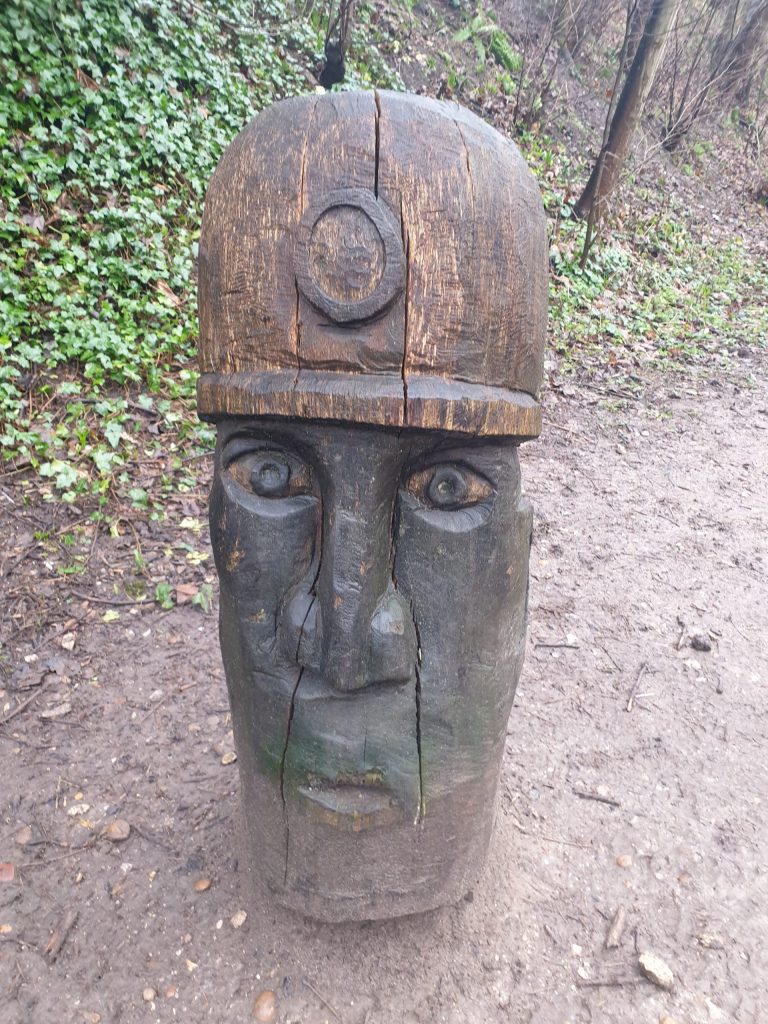
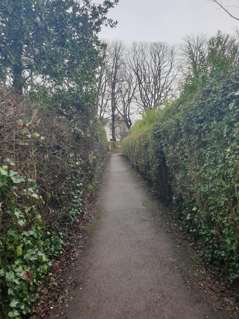
Walk across the ‘Open Space’ to a footpath that exits onto Aylesham Road, turn left and along Aylesham until you see the footpath sign. This takes you onto the footpath on the former railway line that will take you to Arnold Park.
Enter Arnold Park by veering right at the map display.
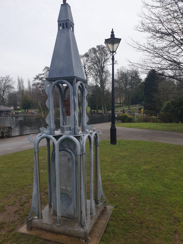
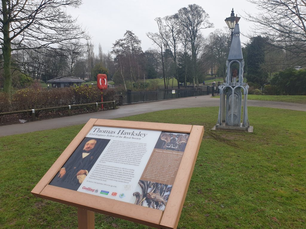
This will take you through the car park of the Gedling Borough Council’s Civic Centre. Walk around the park and learn about Thomas Hawksley, the famous engineer who ensured Nottingham had clean water in the 19th century.
Leave Arnold Park by returning to the former railway line, but turning right. This actually takes you to the rear of the Outdoor Shop at Daybrook, where you will see another small park on the left. This is Thackerays Lane and the Day Brook stream is visible here.
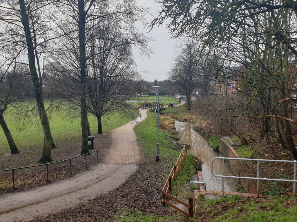
Follow the path and the stream. The park exits next to the Vale Hotel public house.
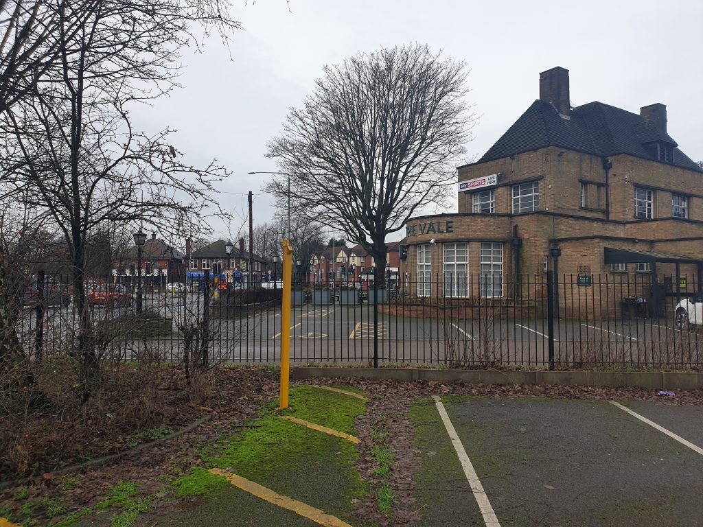
Cross Thackerays Lane and take the road opposite. This is Knighton Road and we will now work our way to Woodthorpe Park avoiding the busy Mansfield Road.
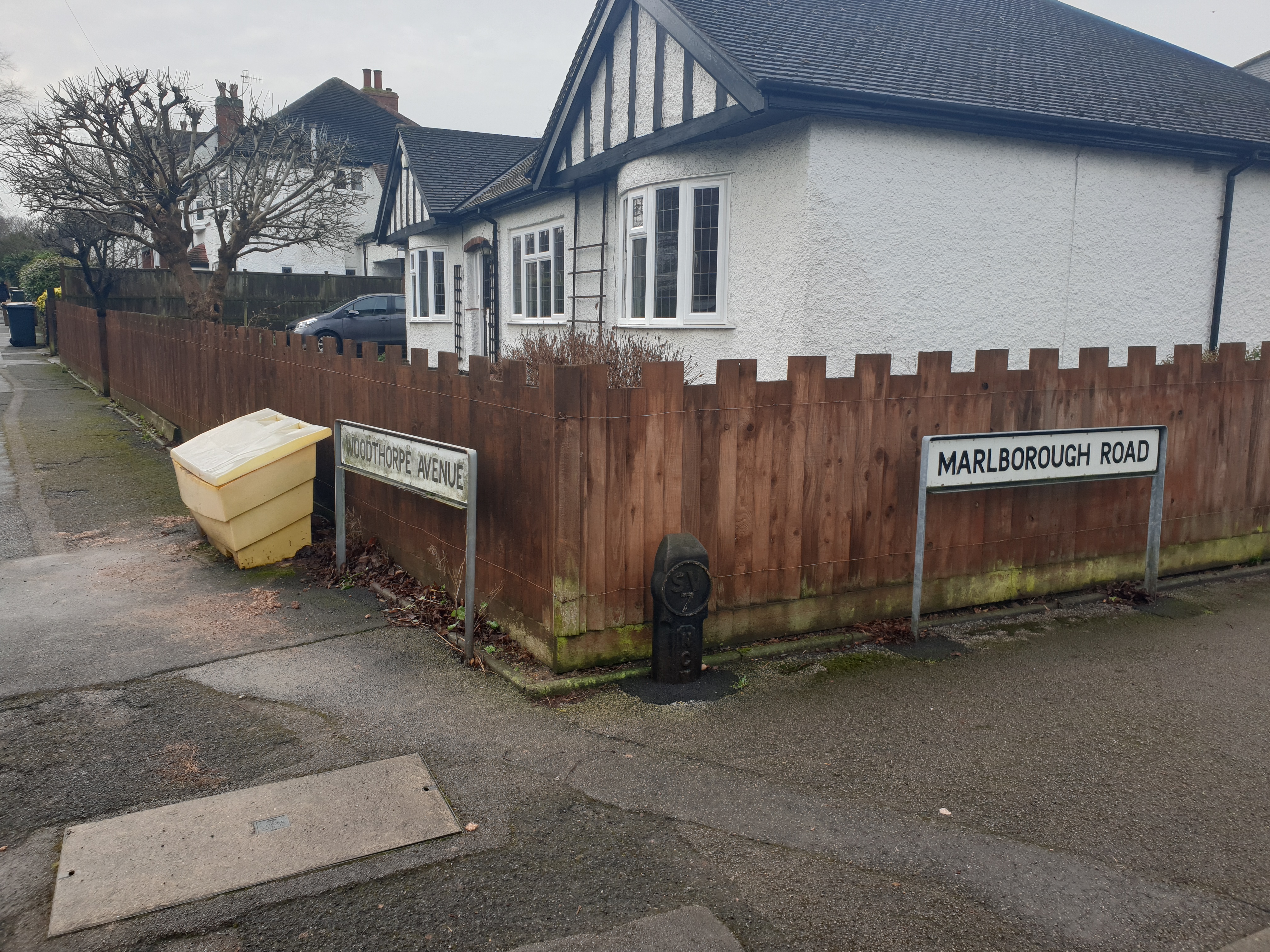
At the top of Knighton Road turn left (along Marlborough Road) then right into Woodthorpe Avenue. After about 100m and where the road bends right, take the footpath and steps on the left.
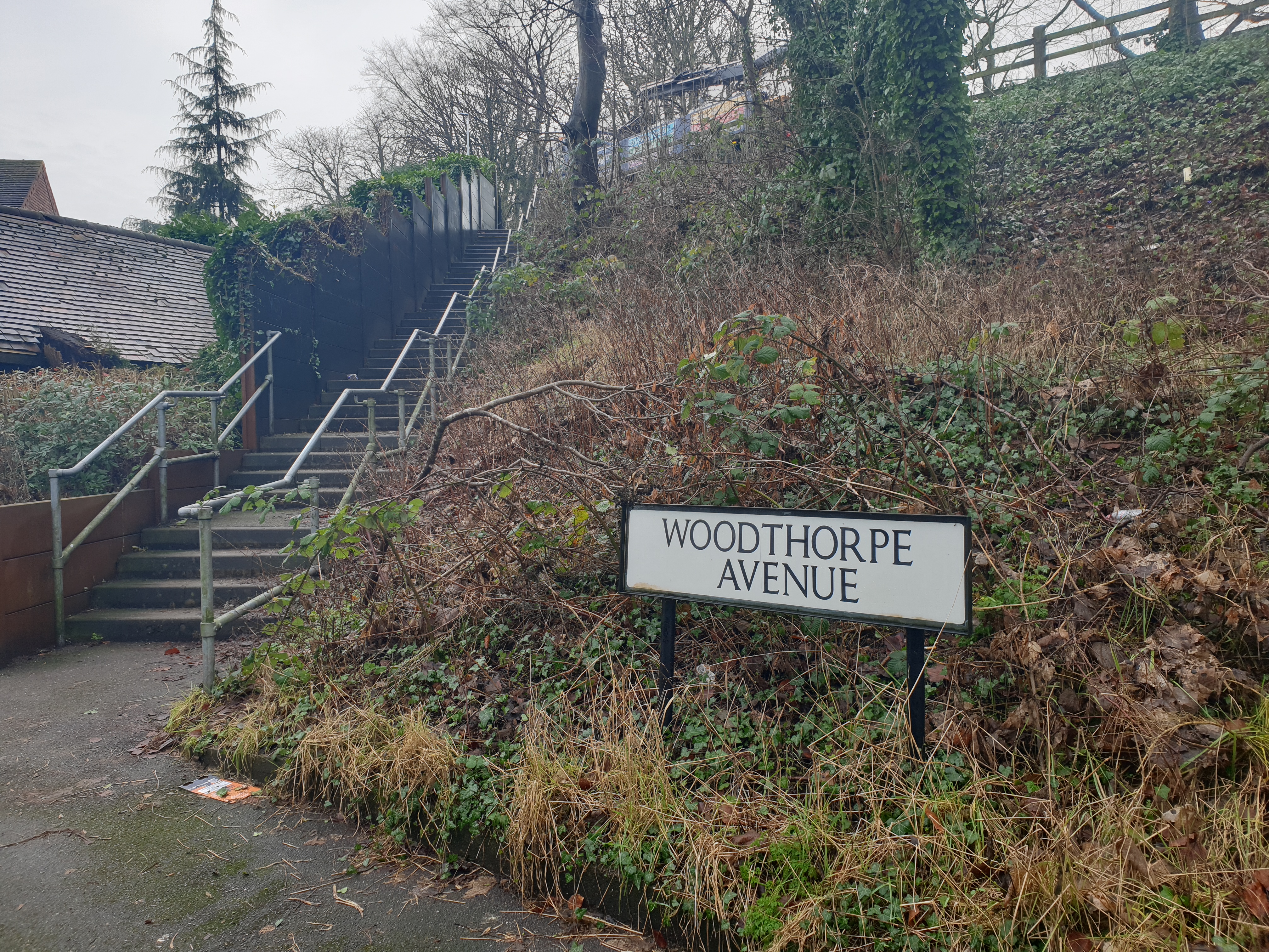
At the top of the steps is the busy Woodthorpe Drive. Take care when crossing the road. Walk up Woodthorpe Drive (100m) to the entrance to Woodthorpe Park. When returning to Mapperley Top, there are different exits available. Either exit onto Woodthorpe Drive or use the footpath next to the Plant Shop and through to Woodthorpe Gardens Woodthorpe Road. This brings you out on Woodborough Road near to Porchester Road.
Enjoy your walk, hopefully in better weather.