Here’s another useful walk that takes in the villages of Woodborough and Lambley.
Starting at The Tree Tops pub on Mapperley Plains, the walk is just under 8 miles, so allow for 4 hours. There is an option to stop at Woodborough and return by bus. The walk is easy going, on either pavements or well used rural footpaths. There are a number of stiles to negotiate.
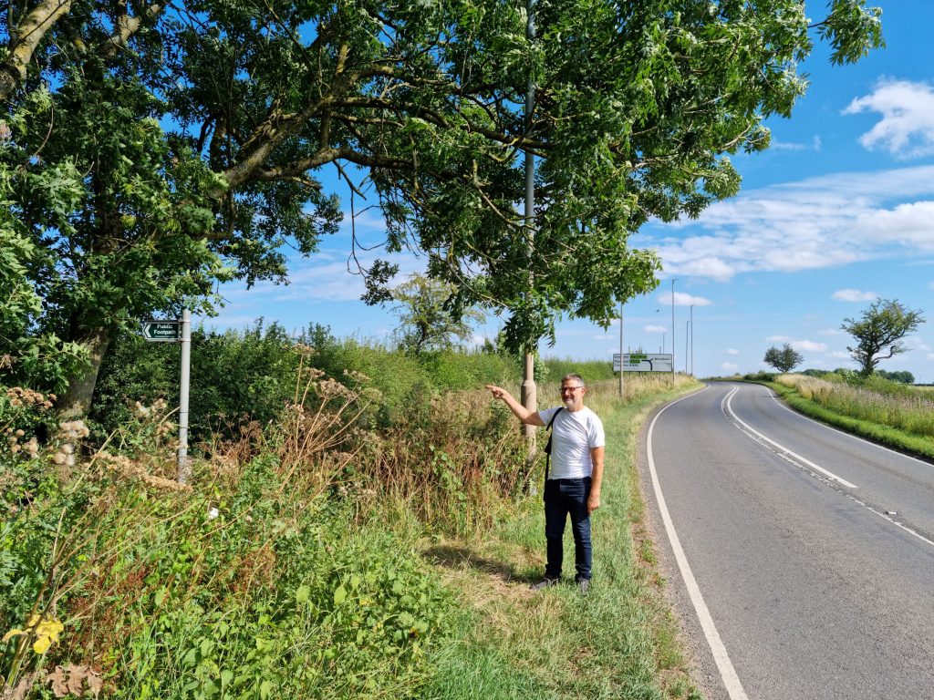
Take the pavement footpath on the left of Mapperley Plains. The pavement reaches as far as Mellish RFC. Continue for another 100 metres using the grass verge. The footpath sign is visible and takes you away from the road.
Take the footpath on the right, that runs parallel to the road and between the double hedgerow. The footpath heading away from the road takes you to Killisick in Arnold.
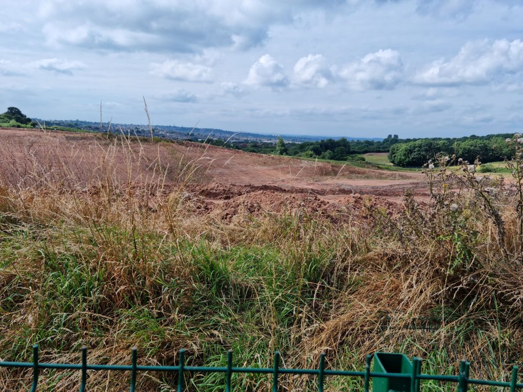
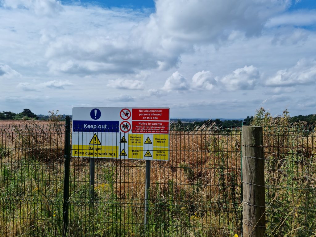
Pause at the sign and fence that secures the clay quarry. There is a good view over Arnold and the west of the City.
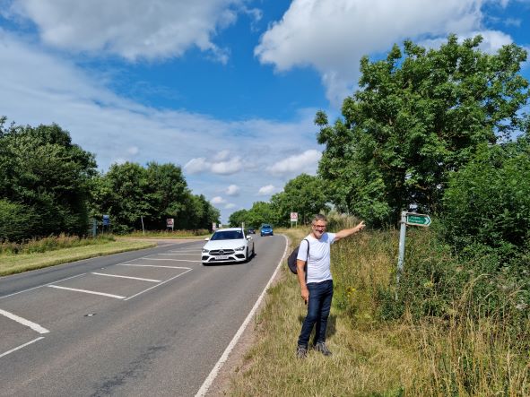
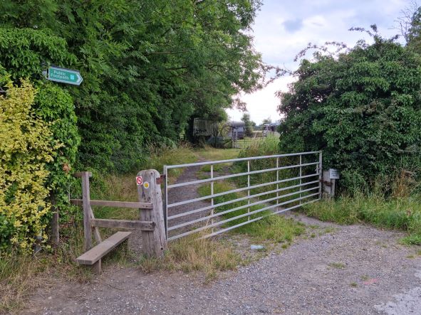
Continue in the same direction through a wooded area. The footpath emerges onto the Mapperley Plains road again. Cross with care and join the footpath again on the other side.
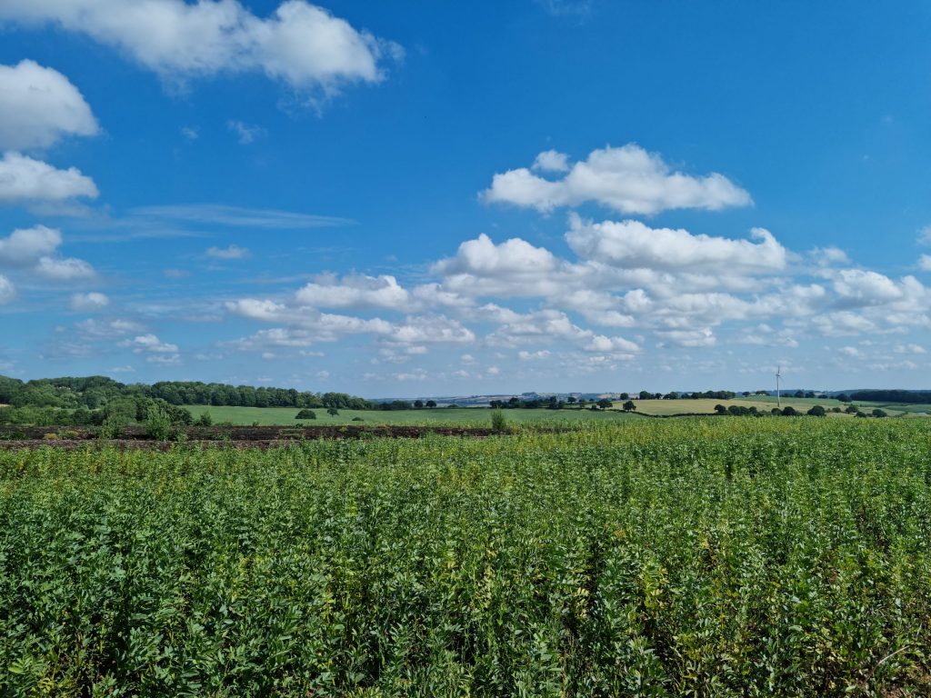
The path now leads away from the road and down a gentle slope at the side of a field within Woodborough Park Farm. Note the wind turbine in the distance. There was a seven year campaign to remove it, that was rejected by country’s top judges in 2018.
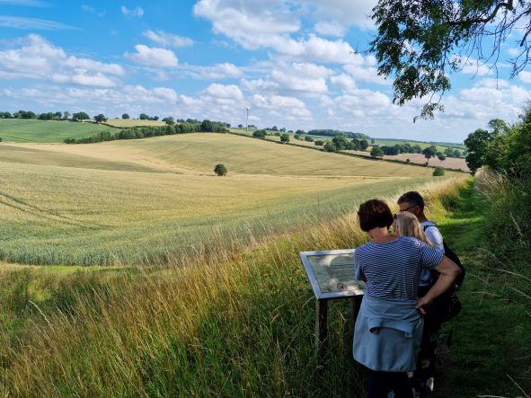
There is a good view from here in the direction of Woodborough. There is also a view of Ramsdale Park and the road into Calverton on the left.
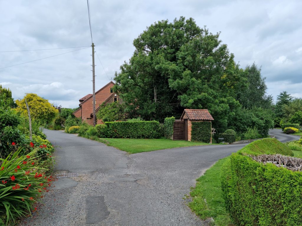
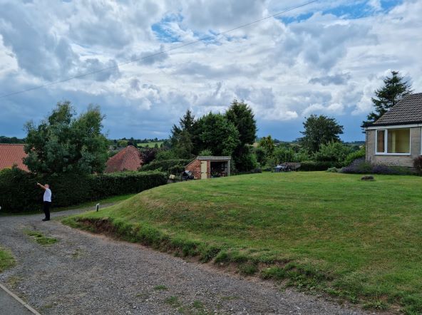
Woodborough Park Farm Information Board
To the left of Ramsdale Park is Dorket Head, the highest point withing Gedling Borough at 157m above sea-level. It is reputed that heading east, the next land of that height is the start of the Ural mountains.
Ramsdale is on the left.
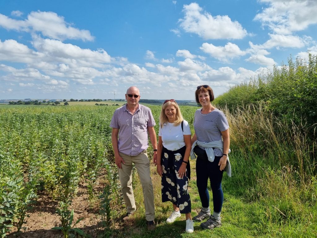
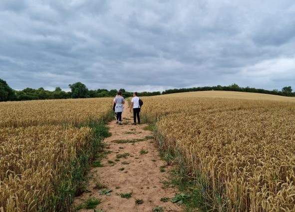
Next to field of broad beans
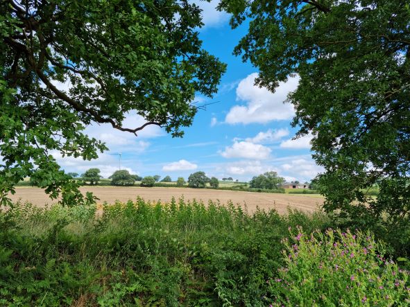
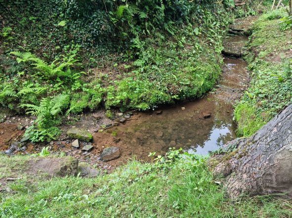
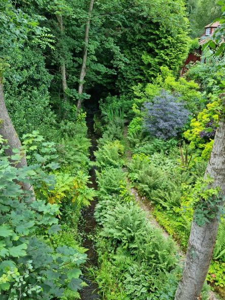
The path now continues along a gentle valley with a stream on the left.
Footpath within Woodborough Park Farm close to stream
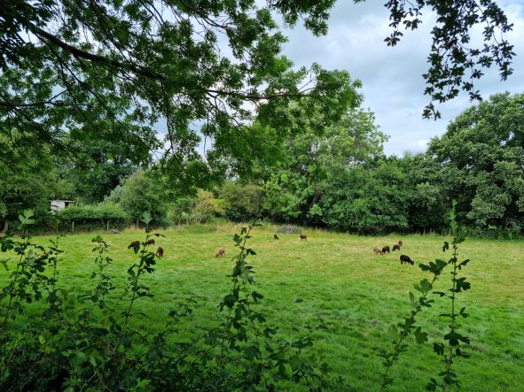
Look out for the field with goats in it.
The path now reaches the edge of Woodborough with some houses and the stream still on the left.
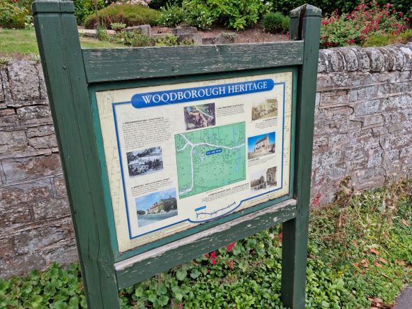
At the main road, turn right and into the village along Main Street.
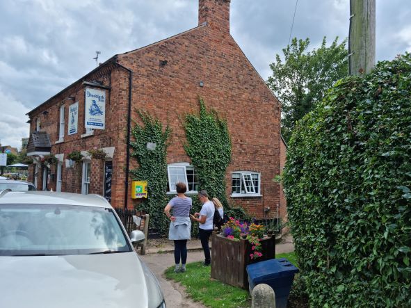
Just before the church is The Four Bells public house. It is a good place to take a rest, as it is roughly the half way point (2 hrs). There is a bus stop opposite giving the option to return to Mapperley Plains on the NCT 47 Service. This runs every 30 minutes.
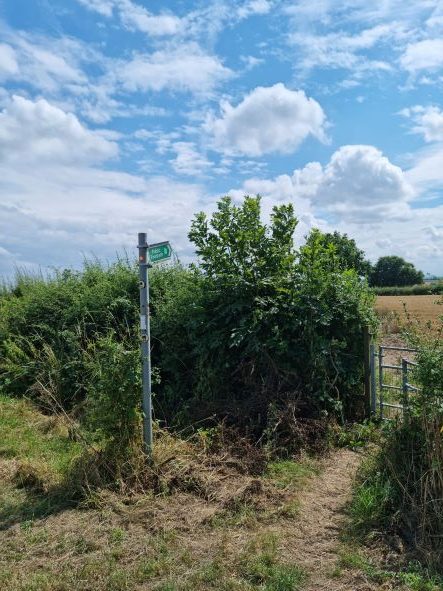
On leaving the Four Bells, take Lingwood Lane between the church and the children’s park. Continue up Lingwood Lane using the grass verge on the right. At the top of the hill, where the road bends to the right, take the footpath sign to the right.
Footpath where Lingwood Lane meets Green Lane
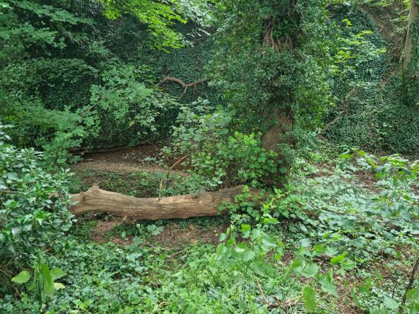
The footpath goes down a gentle slope and is fairly straight. At the lower field it enters a wooded area with an option to go straight on, left or right. Take the path to the left.
You get your first view of Lambley Dumbles
You are now entering the historic village of Lambley. Lambley Dumbles is a name given to these ancient watercourses (streams), the steep sides of which have become covered with thicket of brambles. The name probably originates from the Latin ‘Dumetum” – a place set thick with bushes or brambles.
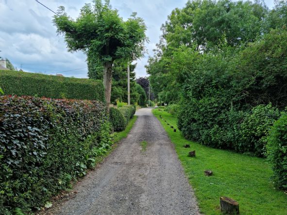
The road into Lambley with the Dumbles on the right
The path is now a single track road with houses on the left and the Dumbles on the right. This emerges on Green Lane at the Woodlark Inn. Take the footpath right at the side of the pub.
The path then goes up the hill through a residential area, before it becomes Mill Lane and goes down the hill onto Main Street. .
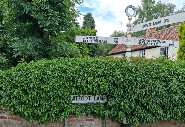
Turn right at Main Street passing the petrol station and The Lambley public house. You are now at the bottom of Catfoot Lane.
The Dumbles at the bottom of Catfoot Lane
Take the pavement to the left of here. Join the footpath (track) again after 20 metres keeping The Dumbles to your right. Continue until the stile takes the path diagonally across a field to the left.
The footpath takes you alongside some farm buildings before it emerges onto Spring Lane near the entrance to Gedling Country Park.
The footpath emerges on Spring Lane near the entrance to Gedling Country Park
There is a pavement from this point, back up to Mapperley Plains.
We hope this walk is of interest to you, and helps you to get to know the area.