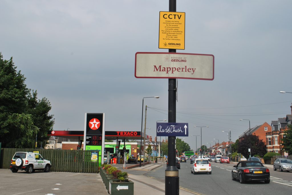

Where does Mapperley start and finish? This was the question we asked ourselves when we formed Mapperley People in 2017. It was difficult to agree on a geographical definition of Mapperley. The names of areas change over time when people refer to a place more generally.
Historic maps show Mapperley as the area of Ransom Road and The Wells Road. The local council wards seem to reflect this. Mapperley Ward is the area either side of Woodborough Road that includes The Wells Road, Mapperley Park and Sherwood Vale up to Woodthorpe Park.
Mapperley Top and Mapperley Plains are relatively recent additions that incorporate the name Mapperley.
For the purpose of Mapperley People, we will include all these areas. The political boundaries will be Nottingham East and Gedling.
We decided that Mapperley People will represent the areas alongside Woodborough Road, Plains Road and Mapperley Plains. This will take in the areas of St Anns, Mapperley Park, Alexandra Park, Mapperley, Sherwood Vale, Porchester, Woodthorpe, Carlton, Arnold and Gedling.